Council approves flood maps
Charleston City Council approved the new flood maps for Charleston, which are intended to replace the previous maps in use since 1989.
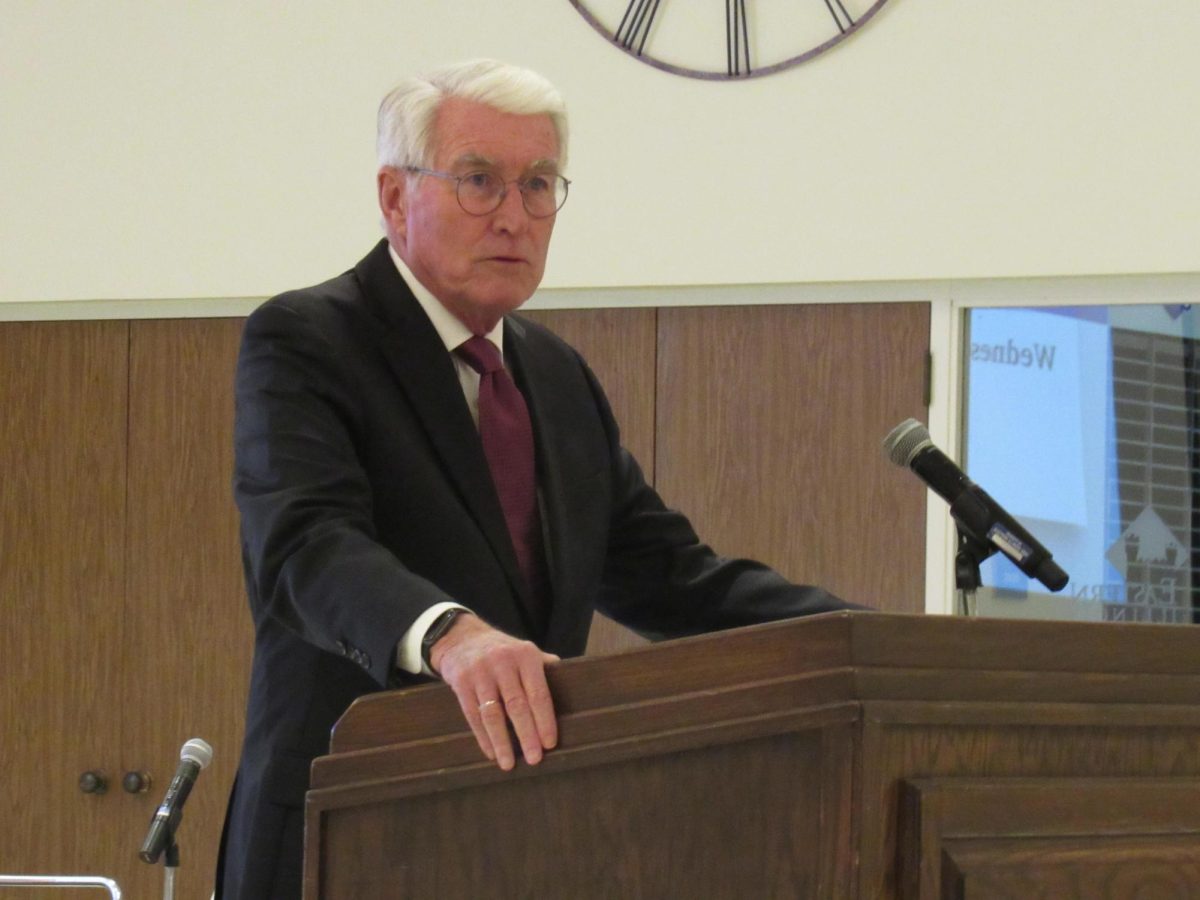
John Inyart, mayor of the city of Charleston, said updating the flood maps for the city had to be done.
“It has to do with flood insurance,” Inyart said. “Each community is covered under the same standards.”
The new maps are scheduled to take effect July 18 and will be in the city hall office.
“It tells [people] where the flood areas are in the city,” Inyart said. “State and federal regulations have standardized it.”
Council member Larry Rennels said the federal government has made some changes to the regulations.
“If we don’t have our ordinance updated by July 18, people could lose their ability to buy insurance,” Rennels said.
Rennels said the ordinance the city approved will be used in City Hall and the zoning department.
“It’s advice on the appropriate action we need to take,” Rennels said.
Scheduled repairs to the UpTowner are expected to start in the next week or two, Inyart said.
The council approved the $4,950 grant from the TIF fund, which is to be used for repairs to the building.
“We’re going to be doing sidewalk work,” Inyart said. “There’s work to be done on window wells and air conditioner units.”
The border line of the TIF district consists of the downtown Charleston area, Inyart said.
The remainder of the funds toward the redevelopment project will come from the city of Charleston, according to the ordinance.
The sidewalk repair to the building is expected to begin during the summer and fall.
The council removed the three-way stop from the agenda at the start of the meeting, Inyart said.
This came at a request from Eastern officials while they look into other options for the intersection.
“We’re waiting for Eastern to come back about the stop sign,” Rennels said.
Council said this may be an issue that may never be voted on by the city.
Jennifer Brown can be reached at 581-7942 or jebrown2@eiu.edu


